
Getting the latest St Ives forecast.
- High / low
- —
- Rain
- —
- Wind
- —
Main town · Atlantic art coast
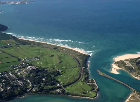
Where is St Ives? West Cornwall · Atlantic coast Open the local map → Map: Ordnance Survey OpenData contributors, CC BY-SA 3.0A local guide for visitors and residents
Start with what you need today: a bed near the beach, somewhere memorable to eat, an art-filled afternoon, a coastal walk or the practical details that make the day easier.
Plan Monday 17 August
Live weather, daylight and coastal conditions to help you choose the right beach, walk or indoor plan.
Getting the latest St Ives forecast.
Times are calculated for St Ives in local Cornish time.
Checking the nearest official live tide gauge.
Weather data by Open-Meteo. Tide observations use Environment Agency real-time data (Beta).
Everything in one place
Simple routes into the directory—without making you search through a wall of listings first.
01
Stay
Find your St Ives base
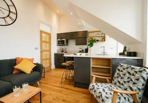
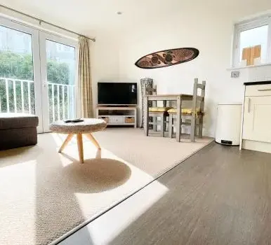
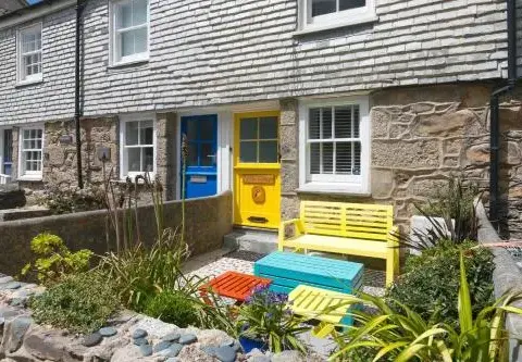
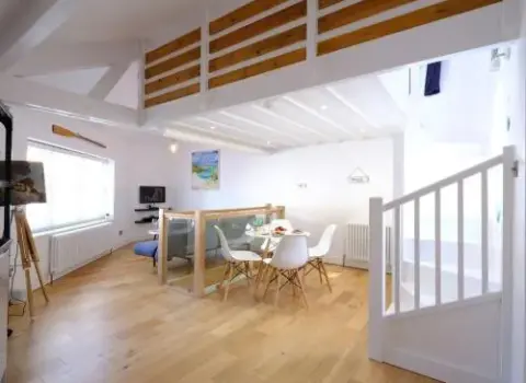
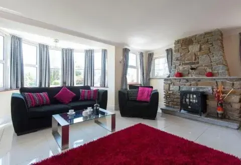
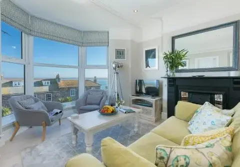
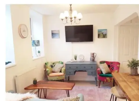
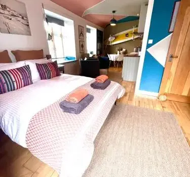
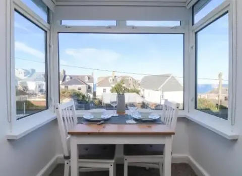
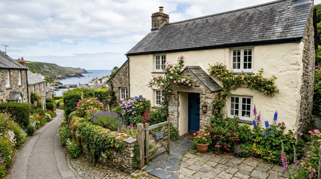
Harbour hideaways, beachside hotels and family cottages.
Explore
02
Food & drink
Eat by the sea
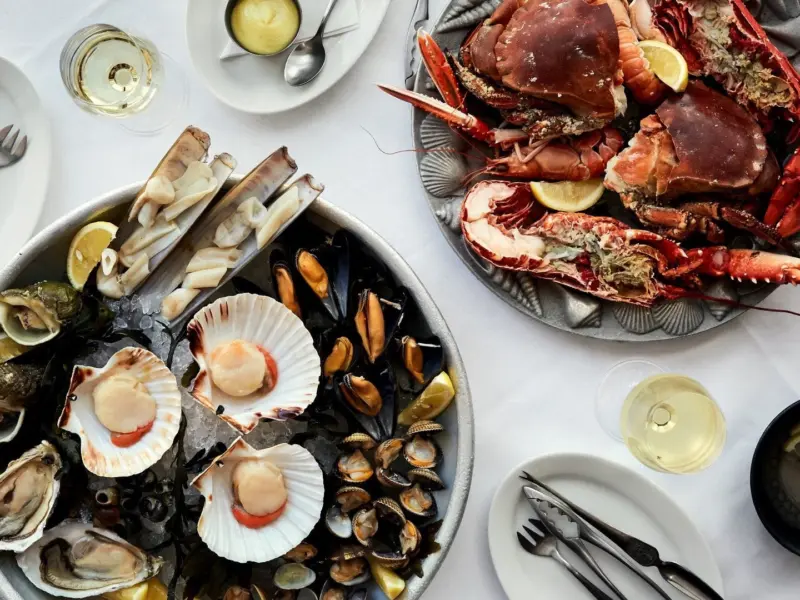
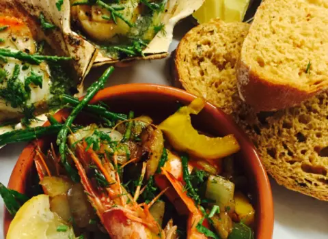
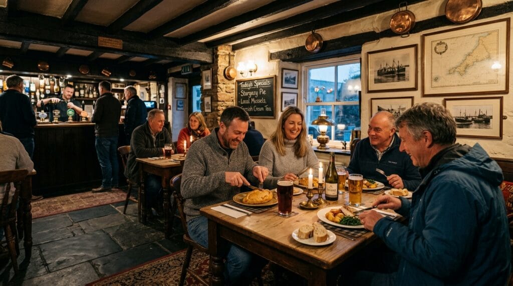
Seafood, bakeries, pubs and memorable tables.
Explore
03
Things to do
Art, boats and surf
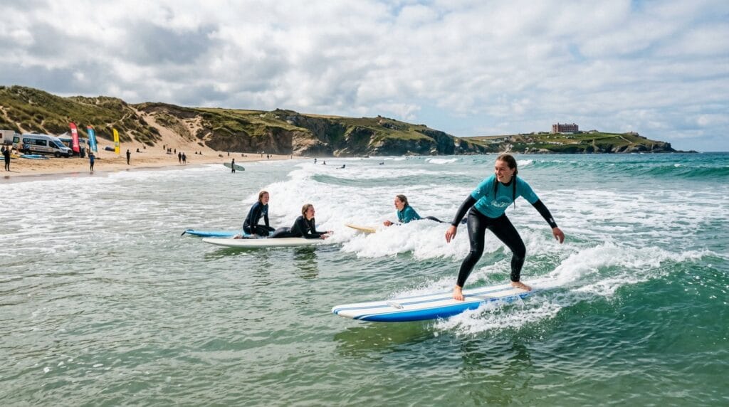
Galleries, boat trips, family attractions and surf sessions.
Explore
04
Shopping
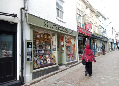
Independent St Ives
Makers, galleries, ceramics, clothing and Cornish gifts.
Explore
05
Beaches
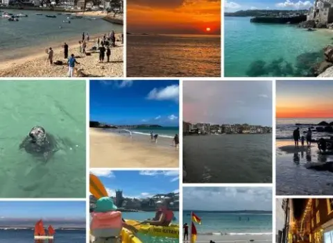
Choose your beach
Compare St Ives beaches on the interactive local map.
Explore
06
Walks
Walk Cornwall
Our own mapped walking guide, including SWCP Stage 13.
Explore
07
Services
Useful local services
Transport, health, trades and everyday local help.
Explore
Start with an idea
Shortcuts for the way people actually plan: by company, weather, budget and mood rather than directory category.
The St Ives essentials
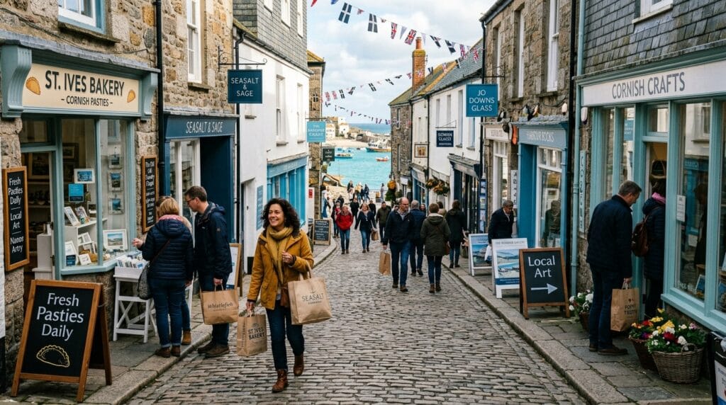
Discover the art, beaches, coastal walks and independent character that make St Ives one of Cornwall’s most distinctive seaside towns.
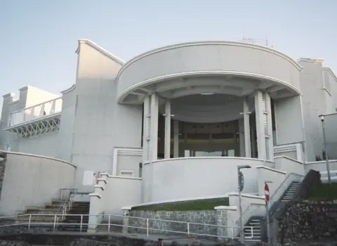
Build a day around Tate St Ives, the Barbara Hepworth garden, working studios and independent galleries.
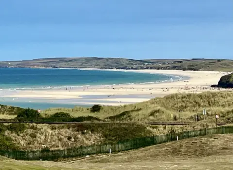
Find arts and culture →Choose between harbour atmosphere, family-friendly sand, Atlantic surf and quieter coves around the bay.
Explore beaches on the map →Circle the island, follow the railway-side coast towards Lelant or head west into wilder Penwith scenery.
Browse local walks →Know before you go
St Ives is compact and best explored slowly. On busy days, choosing how you arrive matters as much as choosing what you do.
The branch-line train into St Ives is scenic and puts you within walking distance of the centre and beaches.
The harbour is compact, but hills, cobbles and steps can affect pushchairs, wheelchairs and anyone with limited mobility.
Check facilities, surf conditions, seasonal dog restrictions and the walk back before settling on a beach.
Popular accommodation, restaurants and headline attractions can fill quickly during holidays and event weekends.
The wider St Ives territory
Use St Ives as the hub, then discover the smaller places, rural lanes and quieter corners around it.
Make the guide yours
Two ways into the same trusted local directory, with the most useful subjects brought forward.
Stay, food, beaches, attractions, mapped walks and practical arrival information.
Services, independent shopping, local food and the smaller communities around town.
St Ives at a glance
A quick orientation before exploring the detailed guides and interactive map.
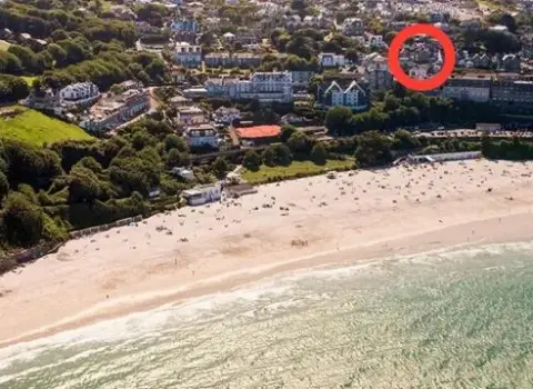
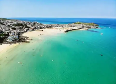
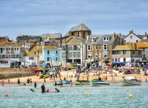
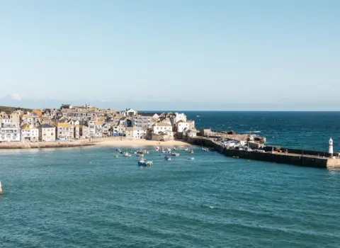
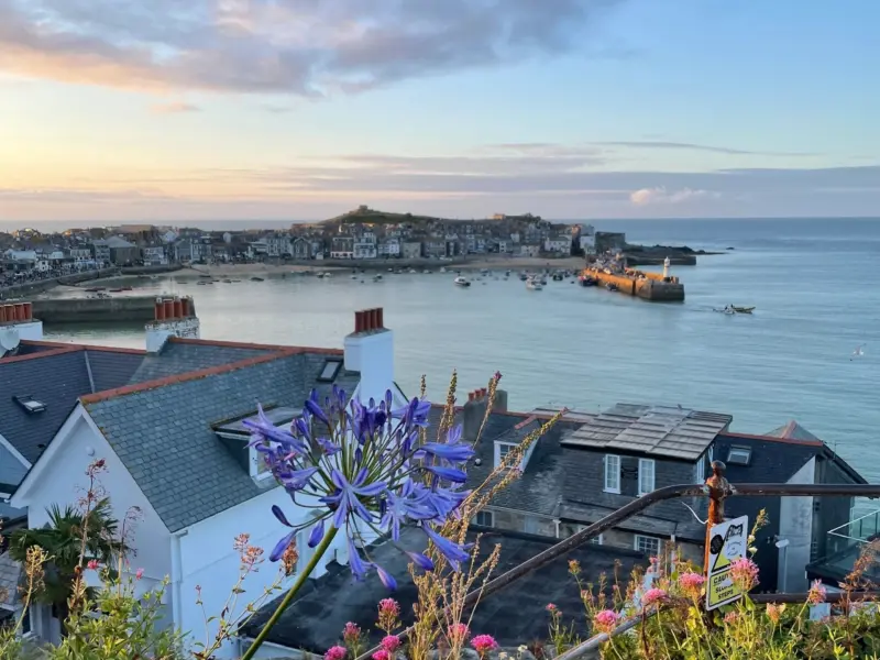
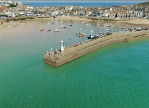
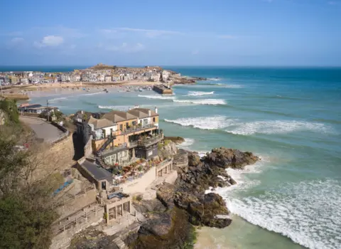
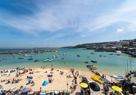
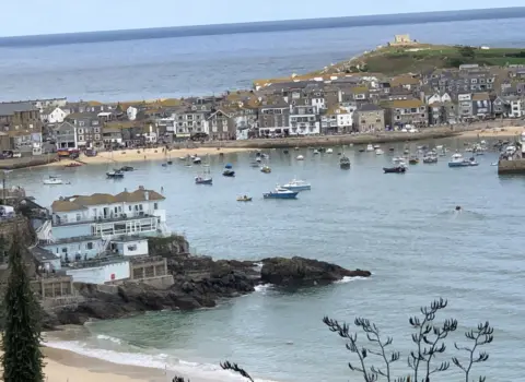
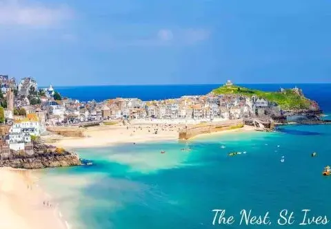
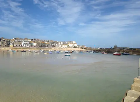
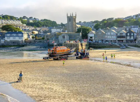
Harbour town on the western side of St Ives Bay.
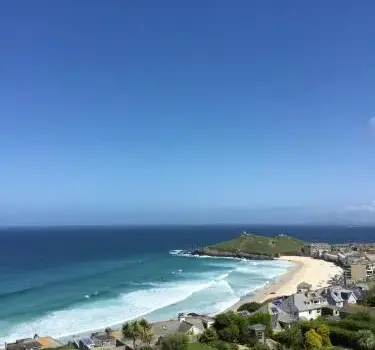
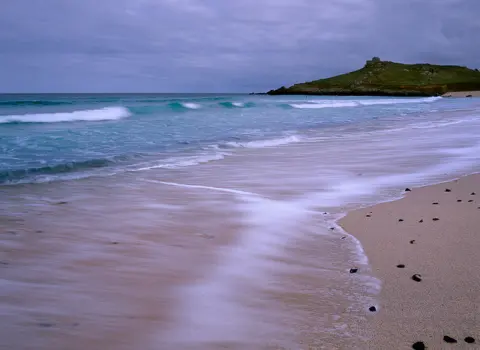
From sheltered harbour sand to Atlantic-facing Porthmeor.
A scenic connection from St Erth into the town.
Galleries, studios, beaches and exceptional coastal light.
Continue exploring
Use St Ives as one part of a wider west Cornwall visit.
Planning questions
Concise answers to the questions visitors most often need before arriving.
St Ives is known for its working harbour, sandy town beaches, Atlantic coastline and internationally recognised art heritage.
Yes. The St Ives branch line connects with the main railway at St Erth and arrives within walking distance of the centre and Porthminster Beach.

Harbour Beach, Porthmeor, Porthgwidden, Bamaluz and Porthminster are all around the compact town centre. Use the beach map to compare their locations.

Yes. The South West Coast Path runs through town. Cornish.co.uk currently maps the challenging Stage 13 route from St Ives towards Pendeen, with more local routes to be added after verification.
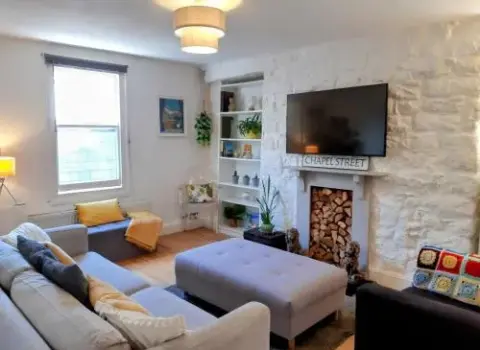
The centre is compact, but steep streets, cobbles and steps can make some routes difficult. Check individual listings and plan parking or rail arrival around your access needs.
Geography · click to explore
Same map style as the Cornwall Parishes explorer — zoomed to St Ives. Switch modes below, tap a parish or pin for details.
Walks and beaches
Our own mapped walk and local beach guides, with more St Ives routes added only when their maps are ready.
A serious coast-path day through the wild scenery west of St Ives, with the full route displayed on our own interactive walk map.
Open our walk map Walk guideBrowse the Cornish.co.uk walking guide and choose from mapped routes across Cornwall.
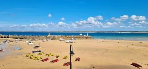
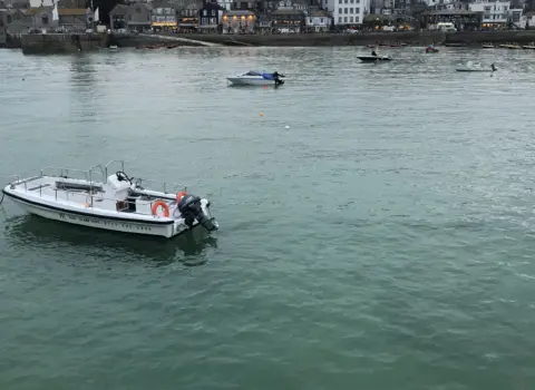
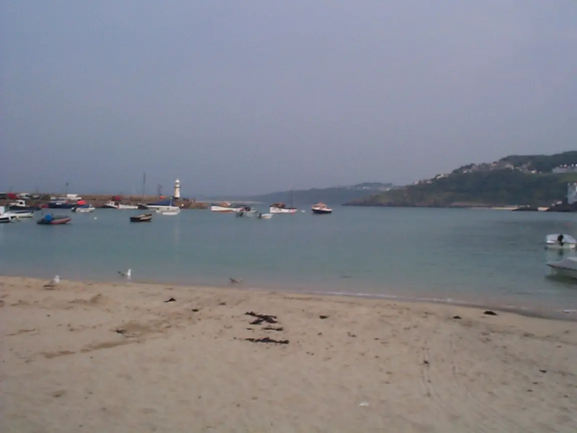
Browse our walks BeachThe working harbour beach in the centre of town, surrounded by cafés, galleries and the historic waterfront.
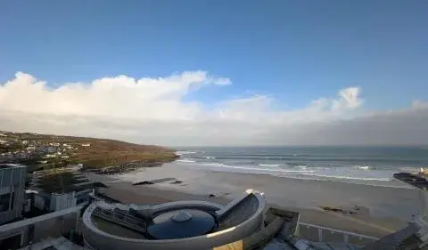
View our beach guide BeachThe Atlantic-facing town beach beside Tate St Ives, popular for surfing, swimming and sunsets.
View our beach guide Beach mapLoad the St Ives territory map with its beach markers ready, then compare locations and nearby listings.
Open beaches on the mapCommunity gallery
Help visitors see the town through your lens. Every contribution is reviewed before it appears publicly.
Please log in to submit a Cornwall photo.