
Cremyll Ferry
Looking for Cremyll Ferry? This attraction and things to do stop in Cremyll, Cornwall is listed on Cornish.co.uk…

Lat 50.3500° N, lon 4.1950° W●Cornish village
Cremyll is a compact hamlet at the mouth of the River Tamar, facing Plymouth across the Hamoaze narrows. It consists of a historic ferry terminal, a scatter of cottages, and the entrance
Cremyll at a glance
Cremyll is a compact hamlet at the mouth of the River Tamar, facing Plymouth across the Hamoaze narrows. It consists of a historic ferry terminal, a scatter of cottages, and the entrance to Mount Edgcumbe Country Park. The hamlet has a maritime, transitional quality, shaped by centuries of ferry operation, naval proximity, and its role
Know this place well? Suggest a local tip or photo, and community notes appear here after moderation.
Must visit spots
Tourist places linked to Cremyll, including stay, food, beaches and things to do. Local trade services are listed separately so this page stays visitor first.
Cremyll Beach Torpoint is a beach and coastal spot in Torpoint, Cornwall, listed on Cornish.co.uk with contact details…
Looking for Cremyll Ferry? This attraction and things to do stop in Cremyll, Cornwall is listed on Cornish.co.uk…
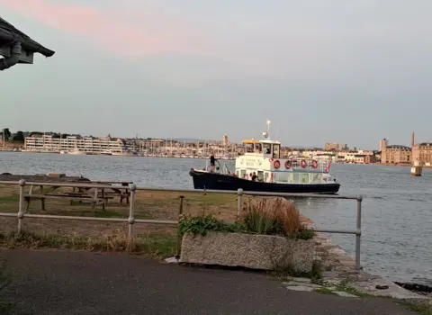
Cremyll Ferry Maker sits in Maker, Cornwall — a practical attraction and things to do stop for visitors…
Cremyll Park Beach Access is a coastal access point in Cremyll, Cornwall.
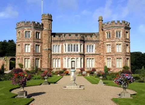
Mount Edgcumbe House and Country Park Polbathic is an attraction and things to do stop in Polbathic, Cornwall,…
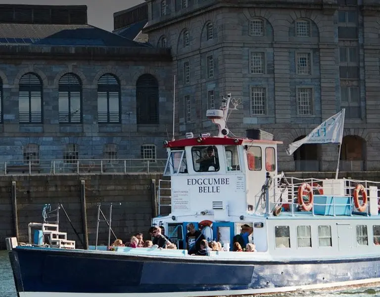
The Ferryboat Inn Torpoint is a place to eat and drink in Torpoint, Cornwall, listed on Cornish.co.uk with…
Coast & countryside
Use the map and coast path links for walks, beaches and viewpoints near Cremyll. Check tide, weather and cliff conditions before you go.
Local area
This page uses the same layout as our main destination guides. Listings and map pins show visitor places tagged to Cremyll and the surrounding parish.
Walk from the harbour
Filter by eat, stay, fun and walks to plan a short visit.
One day itinerary
A simple plan you can shorten or swap for weather. Add local tips when you know the place.
Share a clear local view. Place the pin on the exact spot so the photo appears here, not on a nearby town.
Please log in to submit a Cornwall photo.
Discover & connect
Jump from Cremyll to the parish, the mother town, nearby places, and stay or eat pages.
Popular nearby
Looking for Cremyll Ferry? This attraction and things to do stop in Cremyll, Cornwall is listed on Cornish.co.uk…
Cremyll Ferry Maker sits in Maker, Cornwall — a practical attraction and things to do stop for visitors…
Cremyll Park Beach Access is a coastal access point in Cremyll, Cornwall.
Mount Edgcumbe House and Country Park Polbathic is an attraction and things to do stop in Polbathic, Cornwall,…
The Ferryboat Inn Torpoint is a place to eat and drink in Torpoint, Cornwall, listed on Cornish.co.uk with…
There are no mapped places in this category yet.
Everything in one place
Every stay, place to eat, thing to do, beach and shop listed for Cremyll.
No places in this category yet.
Looking for somewhere to stay in Cremyll?
See the stays on the map, add your dates and guests, then check availability on Booking.com.
Plan your stay in Cremyll on the map
Dydh da! What would you like to find in Cornwall?