


Territory

A local guide for visitors and residents

Make Torpoint yours.

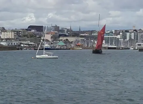
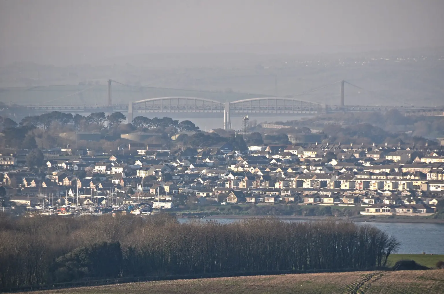
Torpoint sits on the Rame Peninsula facing Plymouth across the Hamoaze — a ferry town with naval heritage and villages such as Millbrook and Maker-with-Rame in its territory.

Plan Monday 17 August

Torpoint today

Live weather, daylight and tidal conditions to help you choose the right plan for the day.

Weather now
Loading…

Getting the latest Torpoint forecast.

High / low
Rain
Wind
Daylight
Today

Times are calculated for Torpoint in local Cornish time.

Sunrise
Sunset
UV
Tide now · Newlyn gauge
Loading…

Checking the nearest official live tide gauge.

Observed
Last turn
Next turn
Live observations, not navigation predictions. Next turn is an approximate planning guide.

Weather data by Open-Meteo. Tide observations use Environment Agency real-time data (Beta).

Everything in one place

Explore Torpoint

Simple routes into the directory—without making you search through a wall of listings first.

Start with an idea

Choose your kind of Torpoint day

Shortcuts for the way people actually plan: by company, weather, budget and mood rather than directory category.

The Torpoint essentials

What makes Torpoint special?

Ferry town and Rame Peninsula hub facing Plymouth across the Hamoaze.

Ferry

Across the Hamoaze

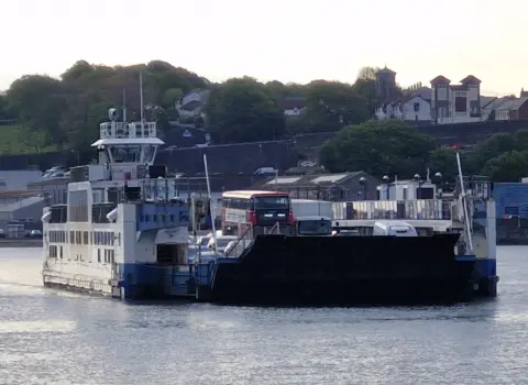
Torpoint is linked to Plymouth by the chain ferry.

Practical tips →
Peninsula

Rame villages

Millbrook, Antony and Maker-with-Rame sit in the wider territory.

Local areas →
Heritage

Naval and country houses

Naval heritage and country houses shape the peninsula story.

Open the map →

Know before you go

Plan a smoother Torpoint day

Allow time for the ferry queue at peak hours. The Rame Peninsula villages reward a slower explore once you are across.

01

Check how you arrive

Busy days reward a little planning around parking, trains and peak traffic.

02

Use the local map

Settlements and businesses are on the interactive territory map below.

03

Book the popular bits

Accommodation and popular restaurants can fill quickly in peak season.

The wider Torpoint territory

Villages and local areas

Use Torpoint as the hub, then discover the smaller places around it.

Make the guide yours

Visiting Torpoint or living locally?

Two ways into the same trusted local directory, with the most useful subjects brought forward.

Torpoint at a glance

Useful local facts

A quick orientation before exploring the detailed guides and interactive map.

SettingRame Peninsula

Ferry town facing Plymouth across the Hamoaze.

Known forChain ferry

The Torpoint Ferry links Cornwall and Devon.

TerritoryPeninsula villages

Antony, Millbrook, Maker-with-Rame and St John.

Coast linkRame Head

Open coast sits in Maker-with-Rame within the territory.

Continue exploring

Towns near Torpoint

Use Torpoint as one part of a wider Cornwall visit.

Planning questions

Frequently asked questions about Torpoint

Concise answers to the questions visitors most often need before arriving.

Is Torpoint a beach town?

Torpoint is a ferry town on the Hamoaze. Open-coast places such as Maker-with-Rame sit in the wider territory and on the map.

What is Torpoint known for?

Torpoint is known for the chain ferry to Plymouth and as the hub of the Rame Peninsula.

Which villages are near Torpoint?

Antony, Millbrook, Maker-with-Rame and St John appear in local areas and on the map.

Is there a live tide reading for Torpoint?

This page shows observed levels from the Environment Agency Newlyn tide gauge, the nearest national gauge in Cornwall. It is not a local Torpoint harbour prediction or a navigation forecast.

Geography · click to explore

Territory map

Same map style as the Cornwall Parishes explorer — zoomed to Torpoint. Switch modes below, tap a parish or pin for details.

Verified listings · 72 places · Torpoint territory

Community gallery

Share a photo of Torpoint

Help visitors see the town through your lens. Every contribution is reviewed before it appears publicly.

Add a photo

Please log in to submit a Cornwall photo.