⚓ Lat 50.1580° N, lon 5.0180° W Sailing village · Roseland Peninsula

St MawesHarbour

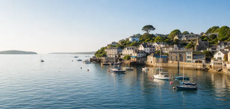
A picture perfect sailing village at the entrance to the Fal Estuary. St Mawes pairs a working harbour, castle views and beach days with the quieter coves and paths of the Roseland Peninsula.

St Mawes at a glance

A harbour village shaped by water, defence and the Roseland

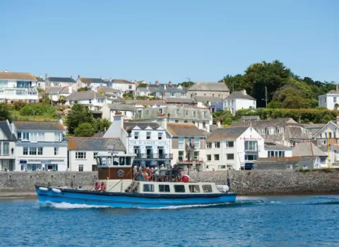
St Mawes sits where the Percuil River meets Carrick Roads at the entrance to the Fal Estuary. Falmouth lies directly across the water, but the village feels distinctly Roseland: boats fill the harbour, wooded creeks reach inland and lanes rise towards quieter countryside.

The settlement takes its name from the Celtic saint Maudez, traditionally associated with the place from around the sixth century. It had developed into a small medieval town by the thirteenth century and became an Elizabethan borough in 1562. Fishing and harbour life eventually gave way to sailing, hospitality and tourism, although the waterfront still feels active rather than ornamental.

Today St Mawes works equally well as a relaxed destination and a base. A first visit can combine the harbour, Henry VIII’s castle, lunch and a beach; a longer stay opens up the creeks, St Just-in-Roseland, St Anthony Head and the wider Roseland coast.

Choose your St Mawes

Start with what matters to you

Plan your visit

St Mawes, made easy

A quick starting point for the harbour, castle, coast and practical details.

Interactive map