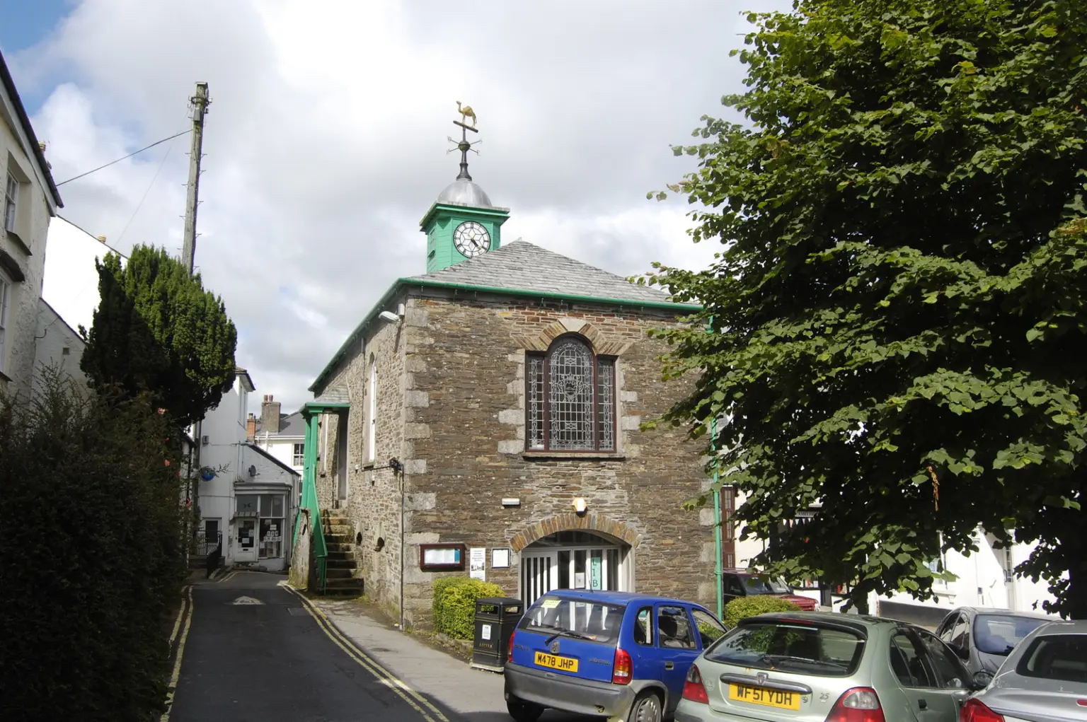






Local story
Bodmin Moor edge
Camelford is a market town on the northern edge of Bodmin Moor, a practical base for the moor and for days toward Tintagel and Boscastle on the north coast.
Moor edge market town with easy reach to north coast landmarks via neighbouring guides.
Camelford works as a quiet moor-edge base. Check coastal parking separately if you day-trip to Tintagel or Boscastle.
Start in town, then choose the moor or a short drive to the north coast.
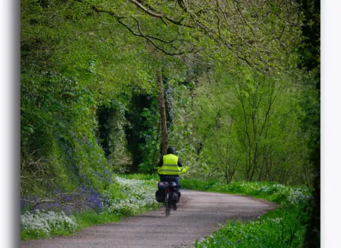
Moor edge countryside and Cornwall walking routes via Cornish.co.uk maps only when verified.
Around Camelford, useful local places include Helstone, Lanteglos and Slaughterbridge. Open Discover & connect for the parish list, or use the interactive map to see how they sit together.
Camelford also works as a base for days in Wadebridge, Bodmin and Bude. Each has its own town page if you want to continue from here.
Use Cornish.co.uk to find places to stay, food and drink and things to do around Camelford. Open the interactive map for pins, or jump to Cornwall walks and local services. Discover & connect lists neighbouring towns and parishes.