Wadebridge at a glance
A Camel Trail market town between Padstow and inland north Cornwall
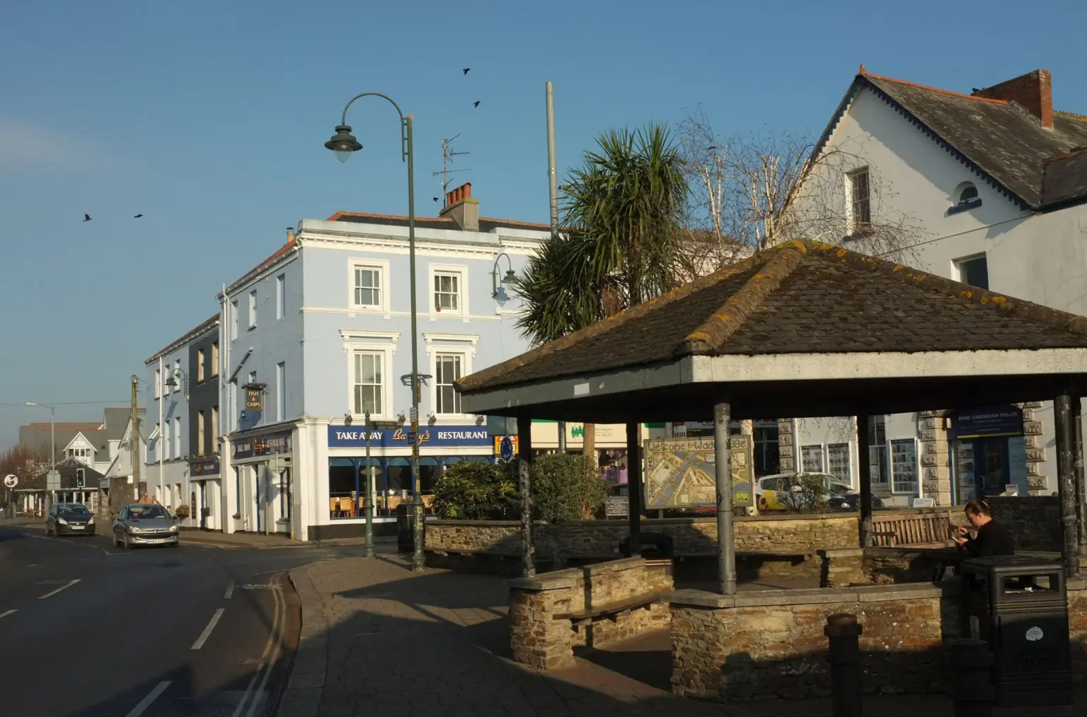
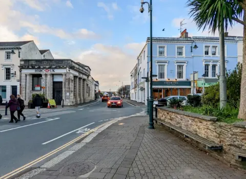
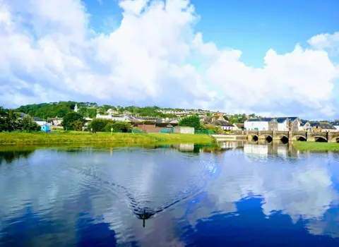
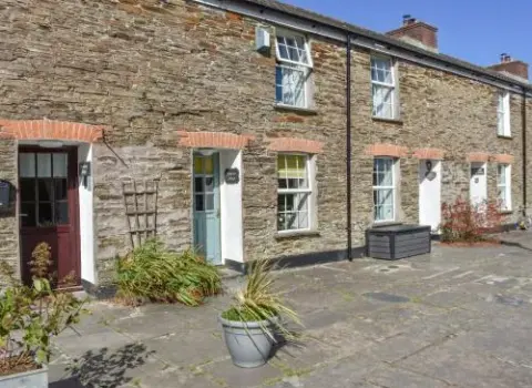
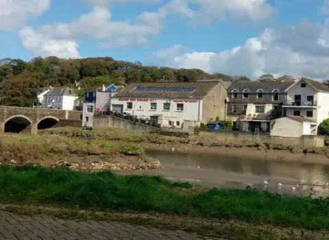
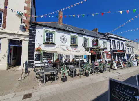
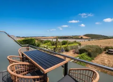
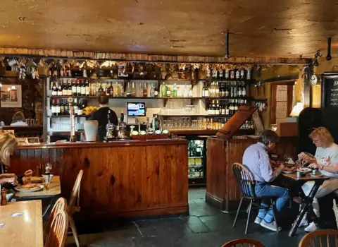
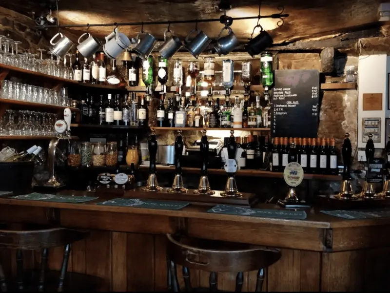
Wadebridge sits on the River Camel in north Cornwall, where the old bridge still gives the town its name. It is a working market town rather than a classic seaside resort: high street shops, cafes, pubs and everyday services, with the estuary and trail as the reason most visitors stop.
The Camel Trail is the main draw. Cornwall Council lists three sections on the old railway: 5.5 miles to Padstow, 5.75 miles inland to Bodmin, and 6.25 miles on to Wenfordbridge. Hire a bike in town, ride the estuary stretch, or head inland if you want a quieter valley. The mapped trail is on the Cornwall walks explorer.
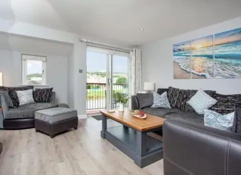
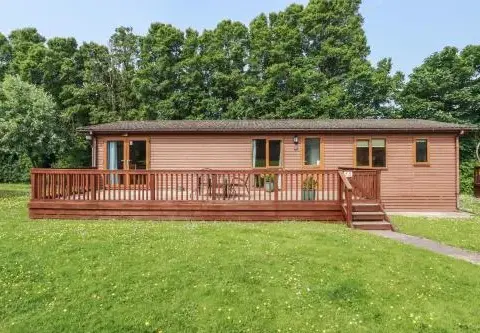
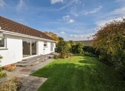
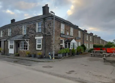
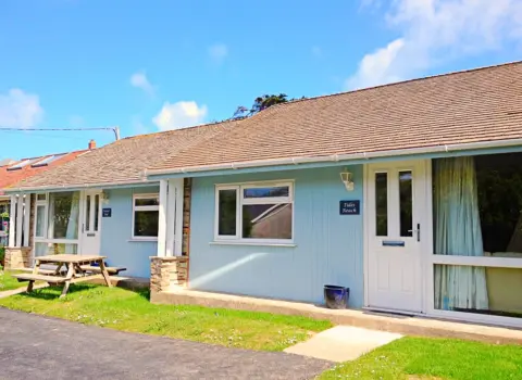
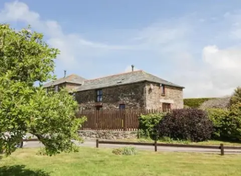
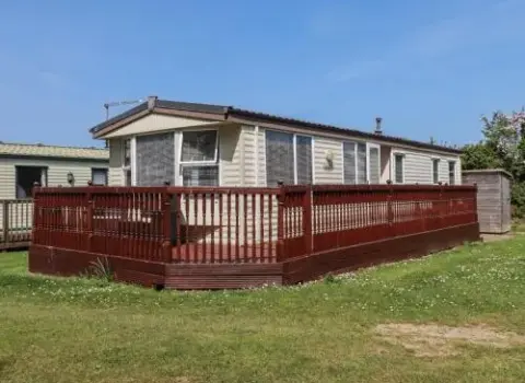
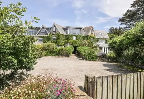
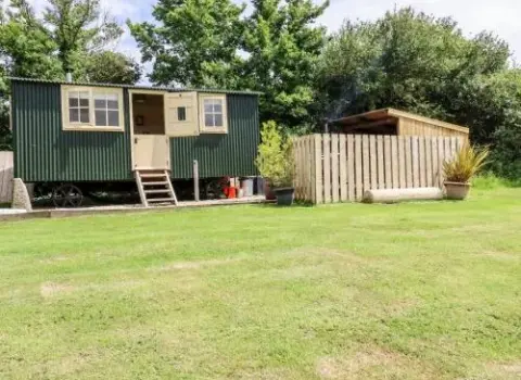
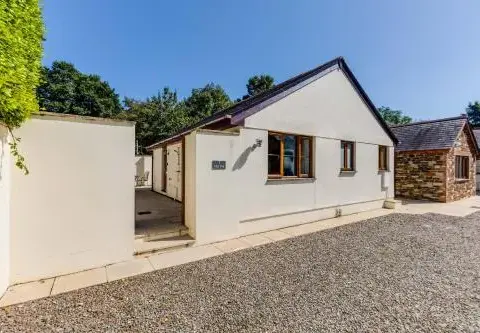
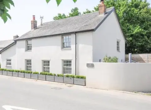
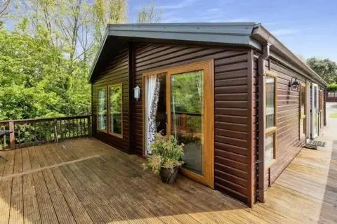
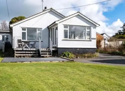
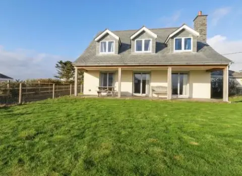
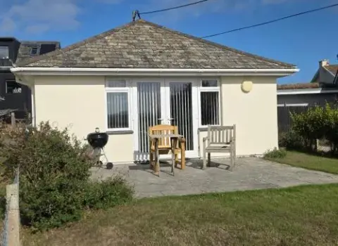
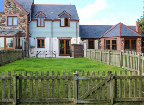
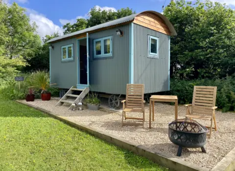
Use Wadebridge as a base if you want parking, shops and a less crowded stay than Padstow in peak season. Places to stay, restaurants, pubs and independent shops are listed for the town and the villages around it. Start with Stay, Food and Shop from Explore, then open the map for individual places.
Wadebridge is not a beach town. The Camel here is tidal estuary, not open Atlantic sand. For Constantine Bay, Harlyn and the Padstow-area beaches, continue downstream. Rock sits opposite Padstow on the other bank. This page does not invent local beach cards that belong on those town guides.
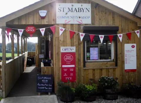
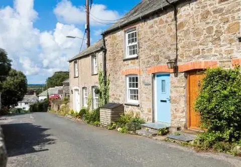
Egloshayle sits beside the town on the east bank. St Issey and St Mabyn are useful nearby villages if you are looking for a quieter stay. Padstow is the harbour day trip. Bodmin is the inland market town and gateway toward the moor. Newquay is the surf coast further west.
Plan a first visit around the bridge, the high street and a stretch of trail. Check live weather on this page before a long ride. Then use the directory for accommodation, food and things to do, and the interactive map to see how the town, villages and Camel corridor sit together.