☁Loading…
Getting the latest Wadebridge forecast.
- High / low
- —
- Rain
- —
- Wind
- —

A local guide for visitors and residents
Wadebridge is the Camel Trail market town — bridge, estuary and a practical base between Padstow and inland north Cornwall.
Plan Monday 17 August
Live weather, daylight and coastal conditions to help you choose the right beach, walk or indoor plan.
Getting the latest Wadebridge forecast.
Times are calculated for Wadebridge in local Cornish time.
Checking the nearest official live tide gauge.
Weather data by Open-Meteo. Tide observations use Environment Agency real-time data (Beta).
Everything in one place
Simple routes into the directory—without making you search through a wall of listings first.
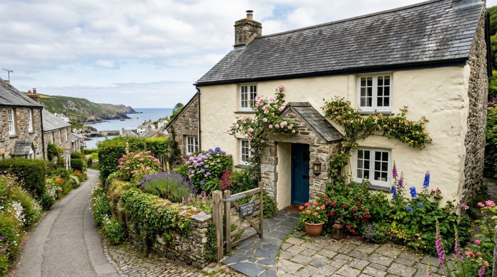 01
Stay
Find your Wadebridge base
Hotels, cottages, B&Bs and stays listed for this territory.
Explore
01
Stay
Find your Wadebridge base
Hotels, cottages, B&Bs and stays listed for this territory.
Explore
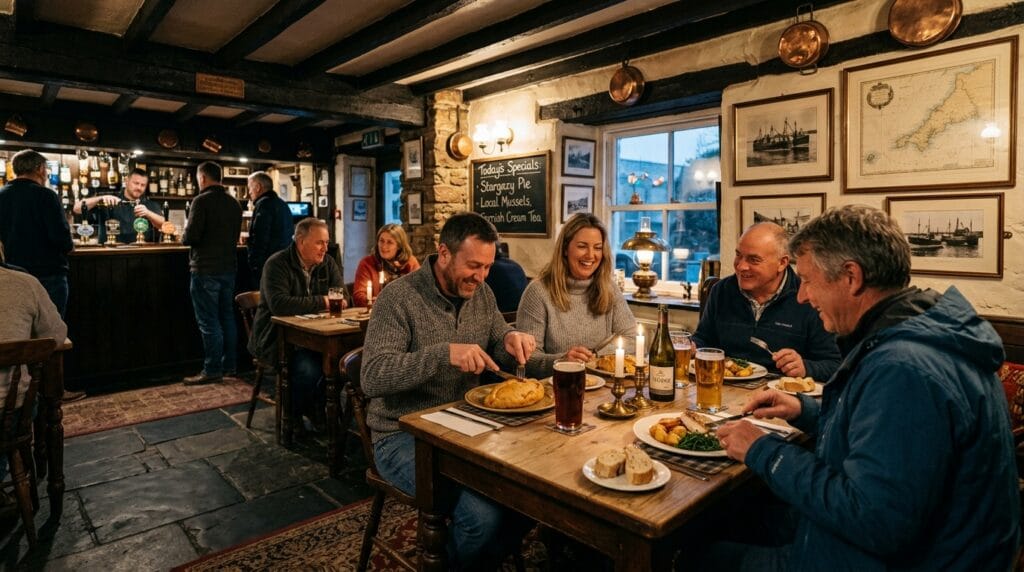 02
Food & drink
Eat and drink locally
Restaurants, cafés, pubs and takeaways in the directory.
Explore
02
Food & drink
Eat and drink locally
Restaurants, cafés, pubs and takeaways in the directory.
Explore
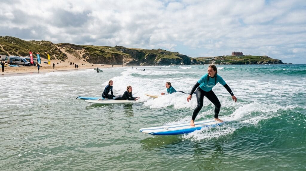 03
Things to do
Activities and attractions
Things to do around town from the Cornish.co.uk directory.
Explore
03
Things to do
Activities and attractions
Things to do around town from the Cornish.co.uk directory.
Explore
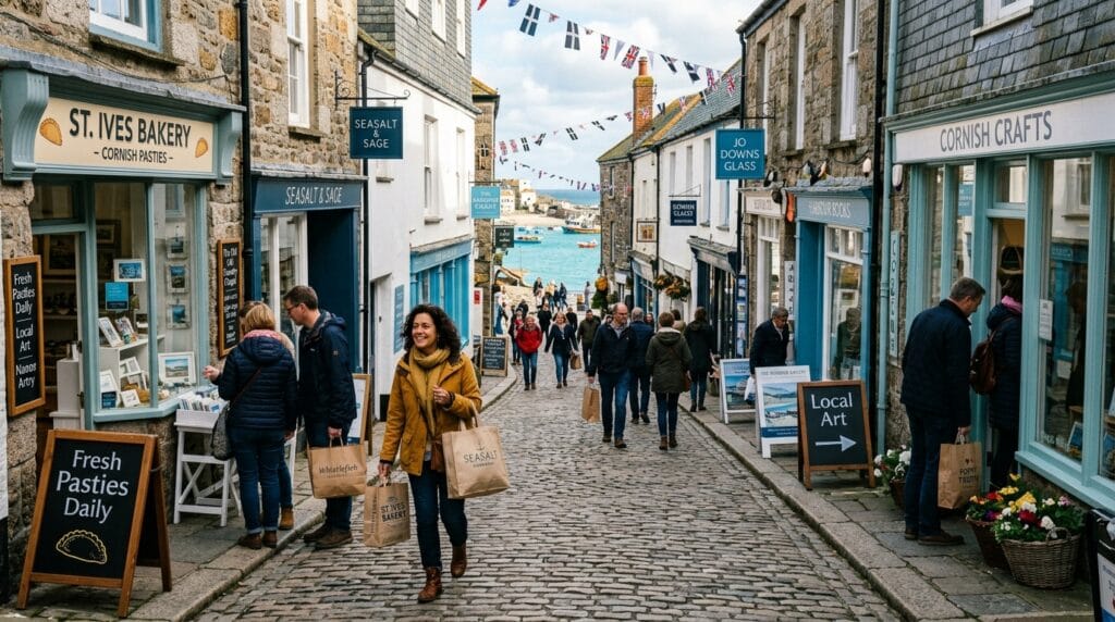 04
Shopping
Independent shopping
Shops and makers listed for this territory.
Explore
04
Shopping
Independent shopping
Shops and makers listed for this territory.
Explore
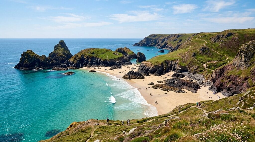 05
Beaches
Explore on the map
Open the territory map with beach markers ready.
Explore
05
Beaches
Explore on the map
Open the territory map with beach markers ready.
Explore
 06
Walks
Walk Cornwall
Browse mapped walking routes on Cornish.co.uk.
Explore
06
Walks
Walk Cornwall
Browse mapped walking routes on Cornish.co.uk.
Explore
 07
Services
Useful local services
Transport, health, trades and everyday local help.
Explore
07
Services
Useful local services
Transport, health, trades and everyday local help.
Explore
Start with an idea
Shortcuts for the way people actually plan: by company, weather, budget and mood rather than directory category.
The Wadebridge essentials
The Camel Trail, estuary setting and a useful high street make Wadebridge a north-Cornwall hub rather than a classic seaside resort.
A key stop on the Camel Trail corridor toward Padstow and Bodmin.
Browse walks →Shops, food and everyday services listed for Wadebridge.
Local services →Follow the Camel toward the harbour towns and beaches downstream.
Explore Padstow →Know before you go
Wadebridge is a useful trail and shopping stop. For open-coast beaches, continue toward Padstow.
Busy days reward a little planning around parking, trains and peak traffic.
Settlements, businesses and beaches are on the interactive territory map below.
Accommodation and popular restaurants can fill quickly in peak season.
The wider Wadebridge territory
Use Wadebridge as the hub, then discover the smaller places around it.
Make the guide yours
Two ways into the same trusted local directory, with the most useful subjects brought forward.
Stay, food, beaches, attractions and practical arrival information.
Services, shopping, local food and the smaller communities around town.
Wadebridge at a glance
A quick orientation before exploring the detailed guides and interactive map.
Market town on the Camel estuary.
A popular walking and cycling corridor.
Padstow-area beaches sit further down the estuary — use town maps there.
A practical north-Cornwall hub on the Camel.
Continue exploring
Use Wadebridge as one part of a wider Cornwall visit.
Planning questions
Concise answers to the questions visitors most often need before arriving.
Wadebridge is an estuary market town. Nearby open-coast beaches are easier from Padstow and the Camel mouth — this guide does not invent local beach cards.
A popular multi-use trail along the Camel corridor. Browse Cornish.co.uk walks for mapped routes.
Egloshayle, St Issey and St Mabyn are among the areas linked from this guide.
This page shows observed levels from the Environment Agency Newlyn tide gauge, the nearest national gauge in Cornwall. It is not a local Wadebridge harbour prediction or a navigation forecast.
Geography · click to explore
Same map style as the Cornwall Parishes explorer — zoomed to Wadebridge. Switch modes below, tap a parish or pin for details.
Places
Eats, stays, and things to do across Wadebridge territory — real listings from cornish.co.uk.
Step back in time with a heritage steam train journey from Bodmin, easily accessible from Egloshayle. Experience the…
Reliable and professional automotive repair services conveniently located near St Mabyn. Your go-to for MOTs, servicing, and all…
Experience the vibrant heart of local trade in Bodmin, just a short distance from Egloshayle. Browse fresh produce,…
A historic pub and restaurant in Wadebridge, perfect for a relaxed family meal or a refreshing drink after…
Thrilling rides and animal encounters await at Camel Creek, a fantastic family adventure park near Egloshayle. Perfect for…
A bright and airy cafe offering a delightful selection of homemade cakes, pastries, light lunches, and excellent coffee.…
Walks and estuary
Trail and estuary first — open-coast beach maps are stronger on the Padstow page. Cornish.co.uk walks listed when verified.
Browse the Cornish.co.uk walking guide and choose from mapped routes across Cornwall.
Browse our walks Beach mapLoad the Wadebridge territory map with beach markers ready, then compare locations and nearby listings.
Open beaches on the mapFilter walks and beaches on the page
No filters applied — browse all Wadebridge territory
Community gallery
Help visitors see the town through your lens. Every contribution is reviewed before it appears publicly.
Please log in to submit a Cornwall photo.