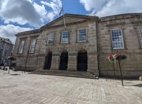


Getting the latest Bodmin forecast.
- High / low
- —
- Rain
- —
- Wind
- —
Main town · County town · moor gateway
Where is Bodmin? Mid Cornwall · county town Open the local map → Map: Ordnance Survey OpenData contributors, CC BY-SA 3.0A local guide for visitors and residents
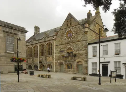
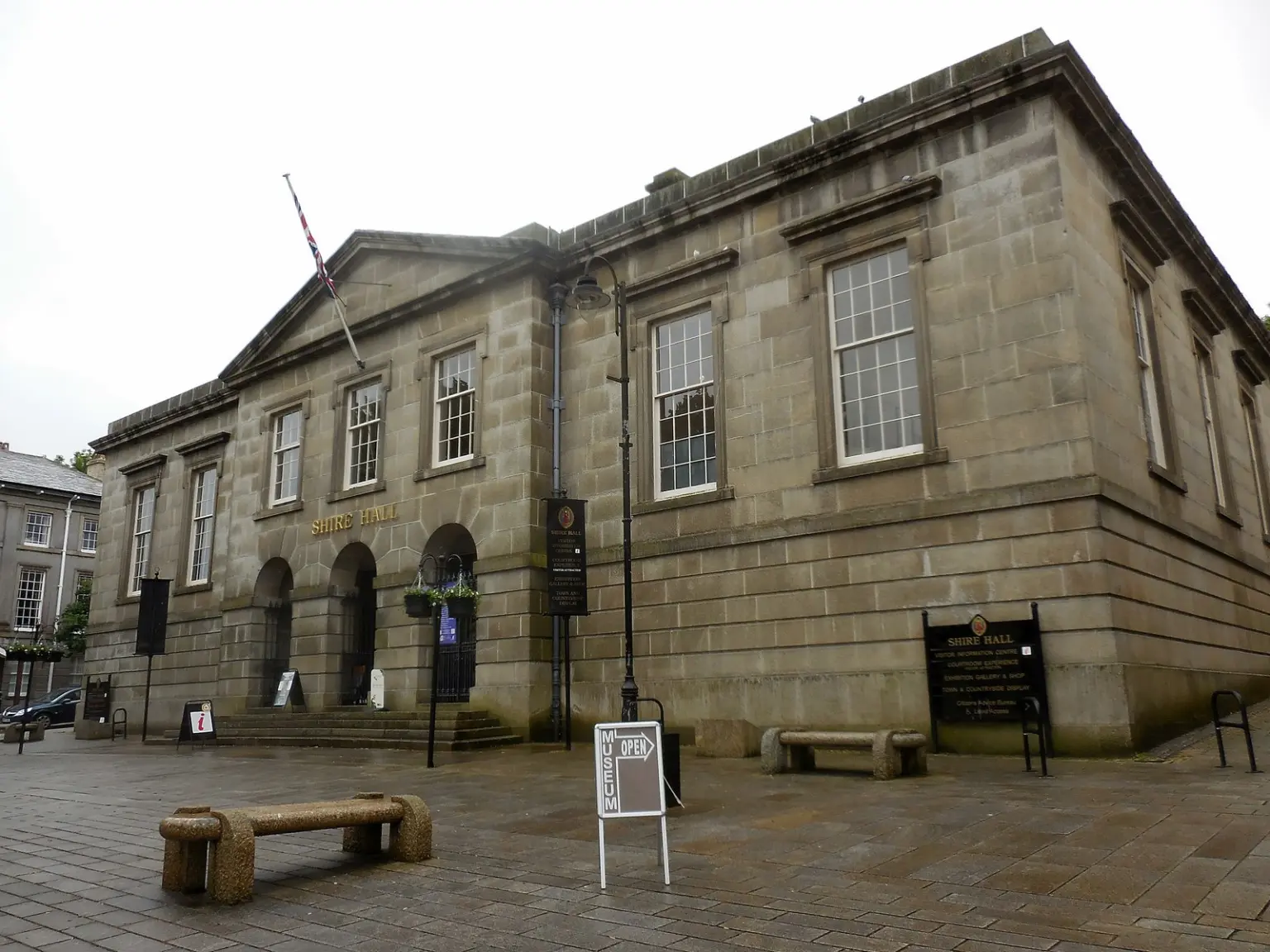
Bodmin is Cornwall's historic county town — a market hub at the edge of Bodmin Moor, with surrounding villages and Bodmin Parkway for mainline rail.
Plan Monday 17 August
Live weather and daylight to help you choose the right plan for the day.
Getting the latest Bodmin forecast.
Times are calculated for Bodmin in local Cornish time.
Weather data by Open-Meteo.
Everything in one place
Simple routes into the directory—without making you search through a wall of listings first.
01
Stay
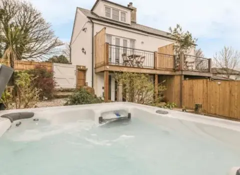
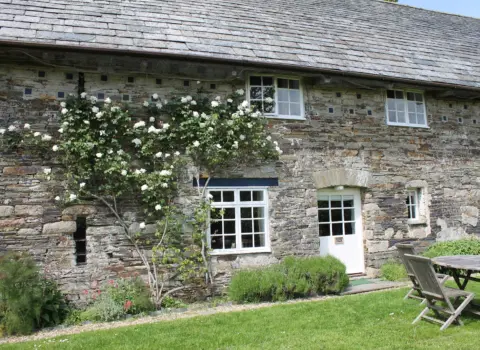
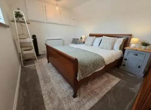
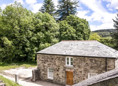
Find your Bodmin base
Hotels, cottages, B&Bs and stays listed for this territory.
Explore
02
Food & drink
Eat and drink locally
Restaurants, cafés, pubs and takeaways in the directory.
Explore
03
Things to do
Activities and attractions
Things to do around town from the Cornish.co.uk directory.
Explore
04
Shopping
Independent shopping
Shops and makers listed for this territory.
Explore
05
Explore
Territory map
Settlements and businesses on the interactive local map.
Explore
06
Walks
Walk Cornwall
Browse mapped walking routes on Cornish.co.uk.
Explore
07
Services
Useful local services
Transport, health, trades and everyday local help.
Explore
Start with an idea
Shortcuts for the way people actually plan: by company, weather, budget and mood rather than directory category.
The Bodmin essentials
Historic county town and gateway between mid Cornwall and Bodmin Moor.
Bodmin anchors mid Cornwall with market-town services.
Practical tips →Moor-edge villages such as Blisland and St Neot sit in the wider territory.
Local areas →Mainline rail connects via Bodmin Parkway outside town.
Station info →Know before you go
Bodmin works as a mid-Cornwall base. Allow time between town and Bodmin Parkway if you arrive by mainline train.
Busy days reward a little planning around parking, trains and peak traffic.
Settlements and businesses are on the interactive territory map below.
Accommodation and popular restaurants can fill quickly in peak season.
The wider Bodmin territory
Use Bodmin as the hub, then discover the smaller places around it.
Make the guide yours
Two ways into the same trusted local directory, with the most useful subjects brought forward.
Stay, food, attractions, countryside and practical arrival information.
Services, shopping, local food and the smaller communities around town.
Bodmin at a glance
A quick orientation before exploring the detailed guides and interactive map.
Historic administrative and market hub of mid Cornwall.
Base for Bodmin Moor and surrounding villages.
Mainline station outside town toward Plymouth and London.
Lanivet, Blisland, Cardinham, Helland and St Neot.
Continue exploring
Use Bodmin as one part of a wider Cornwall visit.
Planning questions
Concise answers to the questions visitors most often need before arriving.
No — Bodmin is inland. Wadebridge and coastal towns are a short drive away.
Bodmin is Cornwall's historic county town and a gateway to Bodmin Moor.
Bodmin Parkway is the mainline rail station outside town; town-centre and branch connections differ — check National Rail for live details.
Geography · click to explore
Same map style as the Cornwall Parishes explorer — zoomed to Bodmin. Switch modes below, tap a parish or pin for details.
Places
Eats, stays, and site visits across Bodmin Territory — real listings from cornish.co.uk. Filter by category with the dock below, or scroll down for walks and beaches.

Award-winning dining on Honey Street in Bodmin.
Pasties, bakery, and proper Cornish comfort food.
Heritage tours, museum, and boutique hotel at Cornwall’s most storied prison.
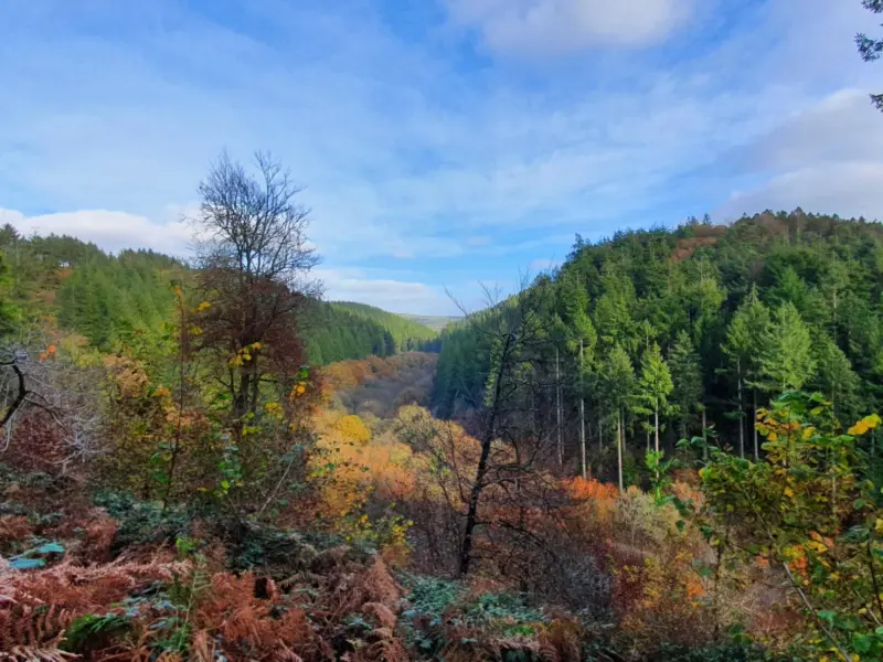
Cardinham Woods — cyclists, walkers, and cream tea stop.
Walks and countryside
Moor-edge countryside and Cornwall walking routes via Cornish.co.uk maps only when verified.
Browse the Cornish.co.uk walking guide for mapped routes across Cornwall — countryside and coast when you want them.
Browse our walks Local mapOpen the Bodmin map for settlements, businesses and the wider parish territory.
Open the territory mapCommunity gallery
Help visitors see the town through your lens. Every contribution is reviewed before it appears publicly.

Please log in to submit a Cornwall photo.