Camelford in Cornwall

Lat 50.6200° N, lon 4.6800° W●Main town · Bodmin Moor edge

Camelford

Camelford is a market town on the northern edge of Bodmin Moor, a practical base for the moor and for days toward Tintagel and Boscastle on the north coast.

Where to stay

Camelford at a glance

Camelford: an old market town on the River Camel, between Bodmin Moor and the north Cornwall coast

Camelford is a small town in north Cornwall, in the valley of the River Camel. It sits on the north west edge of Bodmin Moor, about 10 miles north of Bodmin. The A39 Atlantic Highway runs through the town centre.

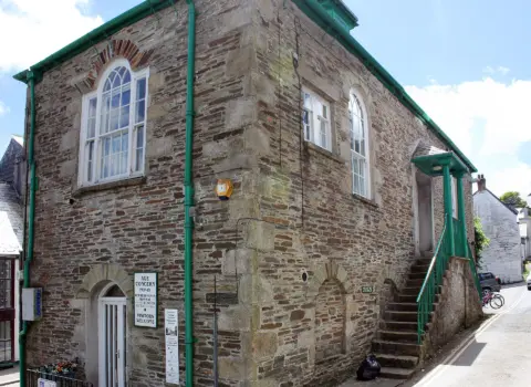
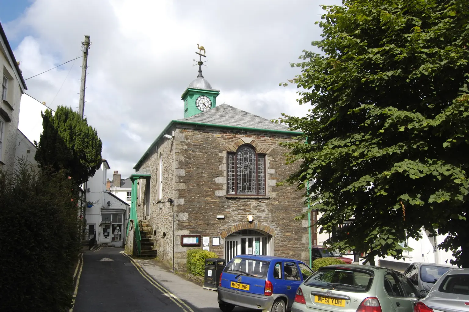
The town has a long history. It became a borough by charter from Richard, Earl of Cornwall, in 1259. Its Town Hall, built in 1806, is now a branch library.

Camelford makes a good base for exploring. Roughtor, the second highest hill in Cornwall, is close by, with views of Brown Willy, Cornwall's highest point. The moor has Bronze Age sites and the Charlotte Dymond memorial.

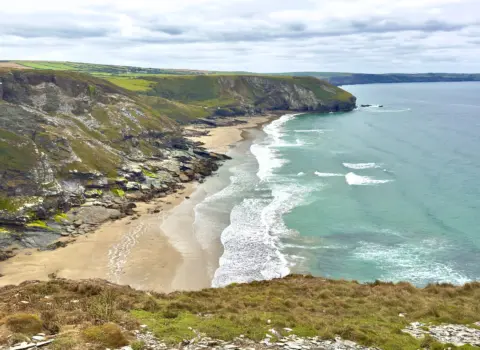
The coast is a short drive away. Trebarwith Strand is about 10 minutes by car, and Polzeath and Bude are under 30 minutes. Tintagel and Boscastle are also nearby.

There is no railway station. The nearest is Bodmin Parkway, about 14 miles away. Local buses link Camelford with Wadebridge, Bodmin, Bude and Launceston.

Use Cornish.co.uk to find places to stay, food and drink and things to do around Camelford. Open the interactive map for pins, or jump to Cornwall walks and local services. Discover & connect lists neighbouring towns and parishes.


Planning questions

Frequently asked questions about Camelford

Are there pubs in Camelford, Cornwall?

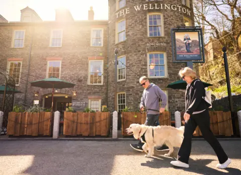
Yes. Camelford has pubs and shops in and around its town centre. The town sits on the A39, so it is an easy stop when touring north Cornwall.

Where is Juliot's Well near Camelford?

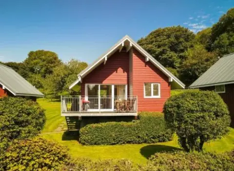
Juliot's Well is a woodland holiday park at Juliots Well, Camelford, PL32 9RF. It overlooks the Lanteglos Valley, about a quarter of a mile beyond the town. It offers lodges and other self catering stays, so contact the park directly about facilities and bookings.

What beaches are near Camelford?

Trebarwith Strand is about a 10 minute drive, but its sand only shows at low tide and the beach closes for 2 hours either side of high water. The RNLI lists lifeguard cover there in the main summer season. Polzeath and Bude, both under 30 minutes away, are better for reliable sand.

What is there to do near Camelford?

Walk up Roughtor for views of Brown Willy, and visit Showery Tor and the Charlotte Dymond memorial on the moor. In winter, starling murmurations can be seen near the Roughtor car park. On Bodmin Moor, dogs must be on leads from 1 March to 31 July.

How do I get from Camelford to Padstow?

Head to Wadebridge first. Bus routes 95 and 96 link Camelford with Wadebridge. Padstow is about 5 miles north west of Wadebridge, and the Camel Trail runs between the two for walkers and cyclists.

Where can I park in Camelford?

Camelford Town Council runs two car parks, Churchfield and Clease Road. At Churchfield the first two hours are free, then a charge applies. Check the town council website for current details.

⌖

Interactive map

Find a trade near Camelford

What's on in Cornwall

All trades

Looking for somewhere to stay in Camelford?

See the stays on the map, add your dates and guests, then check availability on Booking.com.

Plan your stay in Camelford on the map