Local story
Tamar crossing
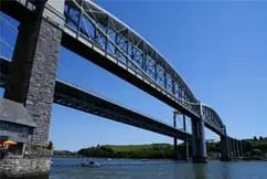
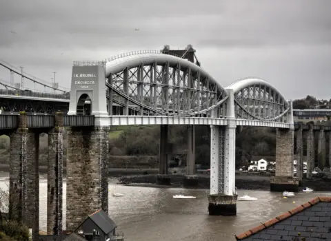
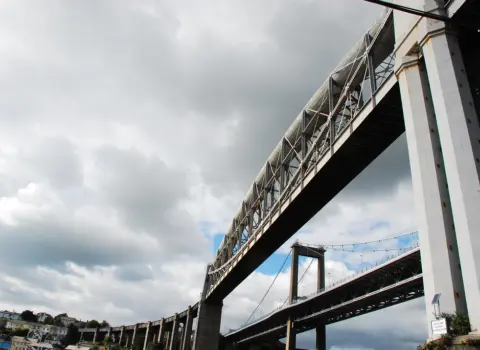
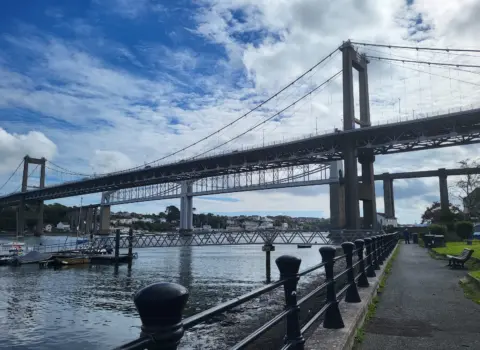
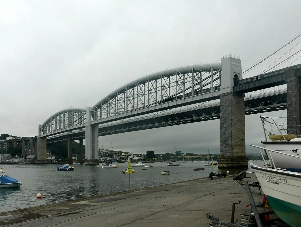
Saltash faces Plymouth across the Tamar, the Gateway to Cornwall, with the Tamar Bridge and Brunel's Royal Albert Bridge overhead.
The first town over the Tamar, with two famous bridges, a lively Fore Street and quick links to Plymouth.
Saltash suits a stop on the way into Cornwall, or a base for the Tamar Valley and Plymouth.
Walk Fore Street and the waterside, cross into Plymouth over the bridges, or head up the Tamar Valley.
Estuary and inland countryside via the territory map and Cornwall walks hub.
Around Saltash, useful local places include Botus Fleming, Landulph, Landrake and Deviock. Open Discover & connect for the parish list, or use the interactive map to see how they sit together.
Saltash also works as a base for days in Torpoint, Callington and Liskeard. Each has its own town page if you want to continue from here.
Use Cornish.co.uk to find places to stay, food and drink and things to do around Saltash. Open the interactive map for pins, or jump to Cornwall walks and local services. Discover & connect lists neighbouring towns and parishes.