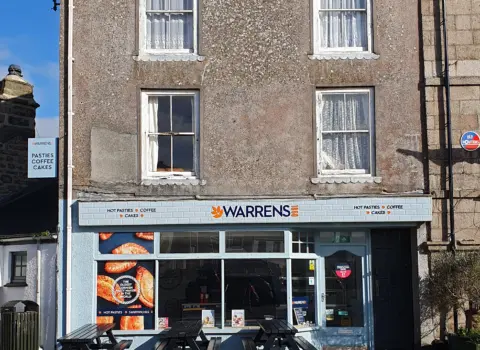
Warren’s Bakery St Just
Indulge in authentic Cornish pasties and a delightful array of freshly baked goods from Cornwall's oldest pasty maker.
See details

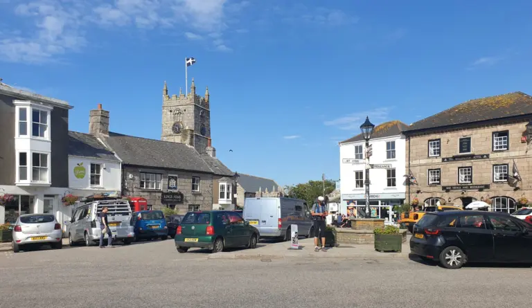
Lat 50.1240° N, lon 5.6810° W●Things to do in St Just
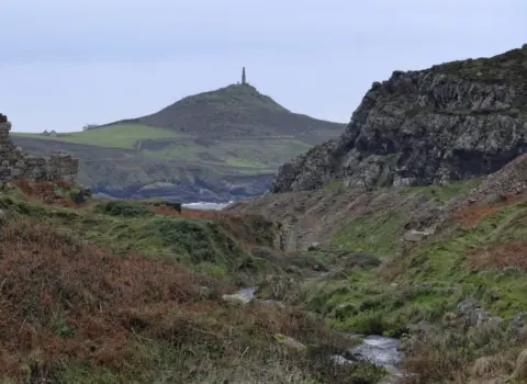
Priest's Cove, Cape Cornwall, St Just (western start)
This listing has no photos yet. If this is your business, claim it free and add a few pictures so visitors can see the place.
Claim this listing →Things to do · St Just
The Tinners' Way is a 16 mile walking route across the moors of West Penwith, from Priest's Cove below Cape Cornwall near St Just to St Ives. It follows an ancient trackway that may date back to the Bronze Age, when routes kept to the higher ground, and which was later used by miners in the 18th and 19th centuries to move supplies and ore between Pendeen, Botallack and Hayle. The route was devised in the 1980s by Hugh Miners and Craig Weatherhill. It passes an extraordinary run of ancient sites, including Kenidjack cliff castle, Tregeseal stone circle, Chun Quoit, which still has its capstone in place, the Iron Age hill fort of Chun Castle, Men an Tol, the inscribed Men Scryfa stone, Carn Galva and Towednack church. Road crossings break it into sections, and most walkers take two days. The moorland can be wet and exposed, so carry a map. It suits walkers interested in prehistory.
Address: Priest's Cove, Cape Cornwall, St Just (western start).
Indulge in authentic Cornish pasties and a delightful array of freshly baked goods from Cornwall's oldest pasty maker.
A traditional and unpretentious cafe serving classic breakfasts, lunches, and light bites.
A delightful little cafe offering freshly prepared snacks, delicious homemade cakes, and hot drinks, ideal for a stop…

The Dog and Rabbit Cafe serves food and drink on N Row in St Just, Cornwall. Check its…
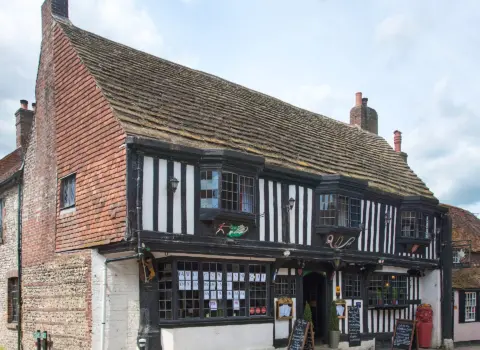
The Star Inn is a dining pub on Fore Street in the centre of St Just, Cornwall. It…
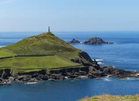
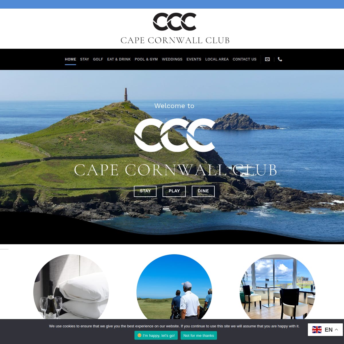
If you are searching for a memorable meal on the wild West Cornwall coast, visiting Cape Cornwall Club…
Ballowall Barrow, also known as Carn Gloose, is a large and unusual Bronze Age burial monument on the…
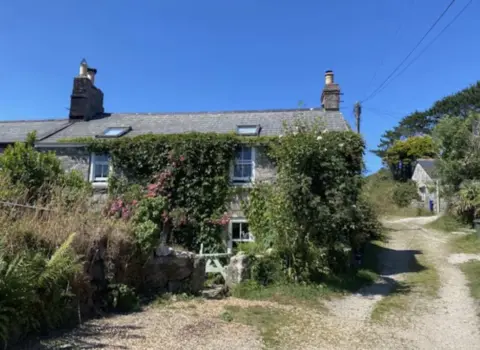
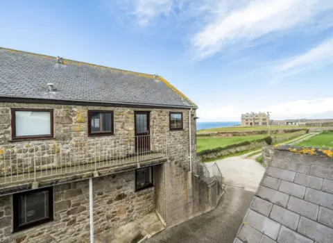
Beautiful Rose Cottage is a place to stay in Penzance, Cornwall, bookable on Booking.com.
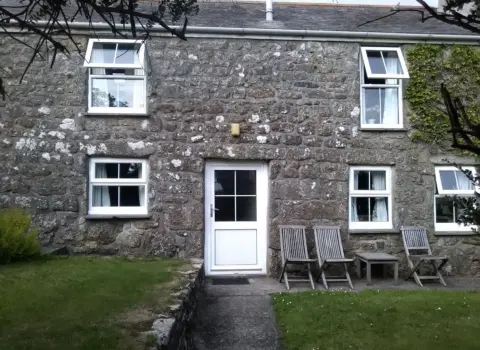
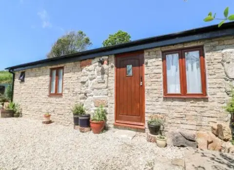
Bosworlas Farm House is a place to stay in Penzance, Cornwall, bookable on Booking.com.
Walk from the harbour
Photos from this listing. Swipe through before you visit.
Please log in to submit a Cornwall photo.
Discover & connect
Jump from Tinners’ Way to the parish, the mother town, nearby places, and stay or eat pages.
Popular nearby
There are no mapped places in this category yet.
Everything in one place
A selection of stays, places to eat, things to do, beaches and shops in St Just.
No places in this category yet.

Dydh da! What would you like to find in Cornwall?

Be one of the first cards people see in this list, with 12 photos and your own booking or website button. From £15 a month, first come, first served.
Be one of the first cards people see in this list, with 12 photos and your own booking or website button. From £15 a month, first come, first served.