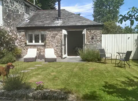
The Cider Barn
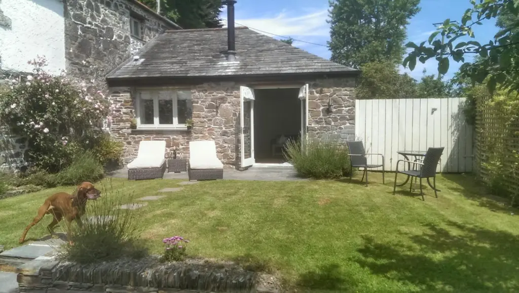
The Cider Barn is a holiday let near St Austell, Cornwall, bookable through Booking.com.

Lat 50.3590° N, lon 4.8510° W●Cornish village
Nanpean and Foxhole are neighbouring villages in the china clay country of mid Cornwall, in the civil parish of St Stephen-in-Brannel.
Nanpean at a glance
Nanpean and Foxhole are neighbouring villages in the china clay country of mid Cornwall, in the civil parish of St Stephen-in-Brannel. Nanpean is about four miles north west of St Austell, and both villages stand on the B3279 road between St Austell and Newquay. Nanpean's name comes from the Cornish Nansbian, meaning little valley, and Foxhole takes its name from the Fox Hole tin mine.
Tin lodes on the surrounding moors were first worked in the Middle Ages. In 1748 William Cookworthy found fine china stone and clay near St Stephen's Beacon, and he patented hard paste porcelain, which started the local china clay industry. Josiah Wedgwood visited in 1775 and took leases on clay-bearing land. Imerys owns most of the clay pits today, and runs a refinery called Goverseth on the edge of Nanpean.
Nanpean was once a major centre for administration, processing, transport and supply in the clay industry. The Newquay and Cornwall Junction Railway reached it in 1869, and its southern section still carries clay trains. St George the Martyr church was built in 1879, and the village school dates from 1898. Nanpean Rovers football club was formed in 1901.
Foxhole adjoins the village of Carpalla, where there is a china clay pit. Watch Hill, with four ancient tumuli, lies to the east, and St Stephen's Beacon, once known as King Pippin's Mount, lies to the west.
Both villages have a strong Cornish wrestling history. Fred Richards of Nanpean was heavyweight champion in 1924 and 1925, and Thomas Bragg, born in Foxhole, won the English title in 1887.
Planning questions
They are neighbouring villages in the china clay area of mid Cornwall, in the parish of St Stephen-in-Brannel. Nanpean is about four miles north west of St Austell, and both are on the B3279.
It was named after the Fox Hole mine, one of several Tudor era tin works in the area.
William Cookworthy found fine china stone and clay near St Stephen's Beacon in 1748. The industry that followed shaped both villages, and Imerys still owns most of the local clay pits.
The Newquay and Cornwall Junction Railway reached Nanpean in 1869. It carried only freight, and its southern section still serves clay trains.
Must visit spots
Tourist places linked to Nanpean, including stay, food, beaches and things to do. Local trade services are listed separately so this page stays visitor first.
The Cider Barn is a holiday let near St Austell, Cornwall, bookable through Booking.com.
Coast & countryside
Use the map and coast path links for walks, beaches and viewpoints near Nanpean. Check tide, weather and cliff conditions before you go.
Local area
This page uses the same layout as our main destination guides. Listings and map pins show visitor places tagged to Nanpean and the surrounding parish.
Walk from the harbour
Filter by eat, stay, fun and walks to plan a short visit.
One day itinerary
A simple plan you can shorten or swap for weather. Add local tips when you know the place.
Share a clear local view. Place the pin on the exact spot so the photo appears here, not on a nearby town.
Please log in to submit a Cornwall photo.
Discover & connect
Jump from Nanpean to the parish, the mother town, nearby places, and stay or eat pages.
Popular nearby
The Cider Barn is a holiday let near St Austell, Cornwall, bookable through Booking.com.
There are no mapped places in this category yet.
Everything in one place
Every stay, place to eat, thing to do, beach and shop listed for Nanpean.
No places in this category yet.
Looking for somewhere to stay in Nanpean?
See the stays on the map, add your dates and guests, then check availability on Booking.com.
Plan your stay in Nanpean on the map
Dydh da! What would you like to find in Cornwall?

Be one of the first cards people see in this list, with 12 photos and your own booking or website button. From £15 a month, first come, first served.
Be one of the first cards people see in this list, with 12 photos and your own booking or website button. From £15 a month, first come, first served.