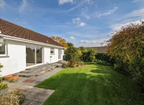
42 Little Trelyn
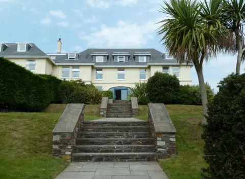
42 Little Trelyn is a place to stay in Wadebridge, Cornwall, bookable on Booking.com.

Lat 50.5480° N, lon 4.9230° W●Cornish village
Rock is a village on the north east bank of the River Camel estuary, directly opposite Padstow.
Rock at a glance
Rock is a village on the north east bank of the River Camel estuary, directly opposite Padstow. It lies about 4 miles northwest of Wadebridge in the parish of St Minver Lowlands. Daymer Bay is a little further downstream, west of Trebetherick and about six miles north of Wadebridge.
Rock Beach is a sandy beach with wide views over the estuary, backed by Rock Dunes, a Site of Special Scientific Interest. At low water the sand runs about two miles past Brea Hill to Daymer Bay. Daymer is sheltered with clear water, good for swimming and paddling, and popular with windsurfers and beginner kitesurfers.
The Black Tor Ferry has crossed between Rock and Padstow since at least 1337 and is run today by Padstow Harbour Commissioners. It carries foot passengers, bikes and dogs, and you pay on board by card. Walking round instead means following the Camel Trail inland to Wadebridge and back down the other side.
Rock is a centre for water sports, including dinghy racing, waterskiing and sailing. Rock Sailing Club's headquarters, a converted warehouse on the wharf, is a local landmark, and the Rock lifeboat station was set up in 1994. Sharp's Brewery is based in the village.
Behind the dunes at Daymer Bay stands St Enodoc's Church, where the poet John Betjeman is buried. At low tide a submerged forest is sometimes visible on the beach. Coast paths lead on from Daymer to Polzeath. Buses run from Wadebridge through Rock and Polzeath to Port Isaac.
Planning questions
The Black Tor Ferry is run by Padstow Harbour Commissioners and carries foot passengers and bikes across the Camel Estuary. Fares are single only and paid on board by card or contactless, so you buy a ticket each way. Dogs are welcome. Hours change through the season, with the latest sailings in the summer holidays and a short lunch break each day.
Rock is known for sailing, dinghy racing, waterskiing and windsurfing on the estuary. You can walk the sands to Daymer Bay and on to Polzeath, visit St Enodoc's Church, or take the ferry over to Padstow. The area is also good for wildlife watching and coastal walks.
Rock Beach is a sandy estuary beach facing Padstow, backed by dunes that are a Site of Special Scientific Interest. At low water you can walk about two miles along the sand past Brea Hill to Daymer Bay. Coastal paths lead across the sand to Daymer Bay and on to Polzeath.
Yes. Visit Cornwall says Rock has traditional pubs as well as restaurants with water views, some run by well known chefs. Padstow, a short ferry ride across the estuary, has many more places to eat and drink.
Daymer Bay is on the east side of the Camel Estuary, west of Trebetherick and about six miles north of Wadebridge. Visit Cornwall gives its postcode as PL27 6LA. Brea Hill rises at the southern end, and St Enodoc's Church sits behind the dunes.
Visit Cornwall describes Daymer Bay as perfect for families, with sheltered, clear water for swimming and paddling. At low tide the golden sand stretches all the way to Rock. It is also a popular spot for beginner kitesurfers and windsurfers.
Must visit spots
Tourist places linked to Rock, including stay, food, beaches and things to do. Local trade services are listed separately so this page stays visitor first.
42 Little Trelyn is a place to stay in Wadebridge, Cornwall, bookable on Booking.com.
Camel Ski School sits on the Camel Estuary at Rock, near Wadebridge, and offers watersports sessions on the…
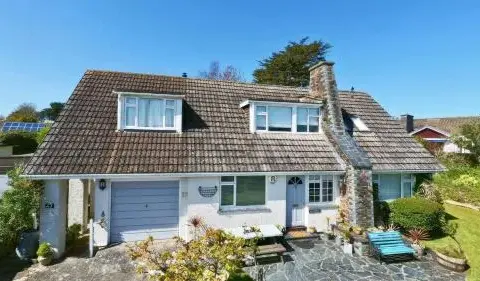
A small studio and shop showcasing beautiful, handcrafted pottery made on-site.
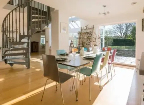
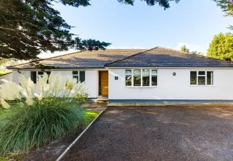
Moorlands Bungalow is a place to stay in Wadebridge, Cornwall, bookable on Booking.com.
Pickling Rock is a coastal spot at Rock in Cornwall.
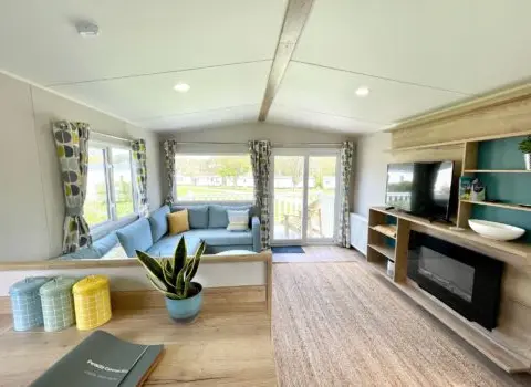
Beautifully appointed self-catering cottages set within the Porthilly Farm estate, offering stunning views towards the Camel Estuary and…
Experience the beautiful sandy expanse of Rock Beach.
Coast & countryside
Use the map and coast path links for walks, beaches and viewpoints near Rock. Check tide, weather and cliff conditions before you go.
Local area
This page uses the same layout as our main destination guides. Listings and map pins show visitor places tagged to Rock and the surrounding parish.
Walk from the harbour
Filter by eat, stay, fun and walks to plan a short visit.
One day itinerary
A simple plan you can shorten or swap for weather. Add local tips when you know the place.
Share a clear local view. Place the pin on the exact spot so the photo appears here, not on a nearby town.
Please log in to submit a Cornwall photo.
Discover & connect
Jump from Rock to the parish, the mother town, nearby places, and stay or eat pages.
Popular nearby
42 Little Trelyn is a place to stay in Wadebridge, Cornwall, bookable on Booking.com.
Camel Ski School sits on the Camel Estuary at Rock, near Wadebridge, and offers watersports sessions on the…
A small studio and shop showcasing beautiful, handcrafted pottery made on-site.
Moorlands Bungalow is a place to stay in Wadebridge, Cornwall, bookable on Booking.com.
Beautifully appointed self-catering cottages set within the Porthilly Farm estate, offering stunning views towards the Camel Estuary and…
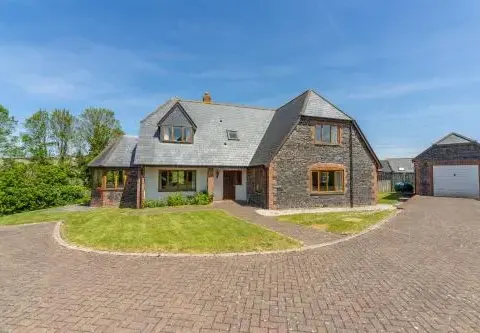
September Cottage is a place to stay in Wadebridge, Cornwall, bookable on Booking.com.
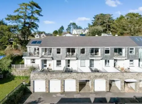
Discover delicious local produce and Cornish delights at this charming farm shop near Polzeath.
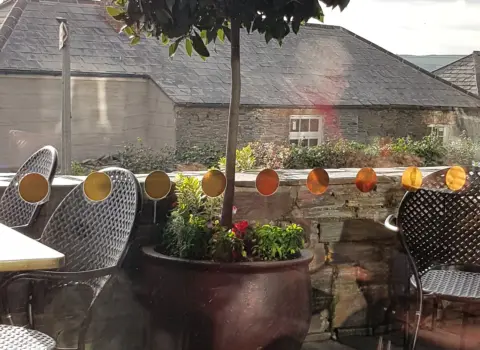
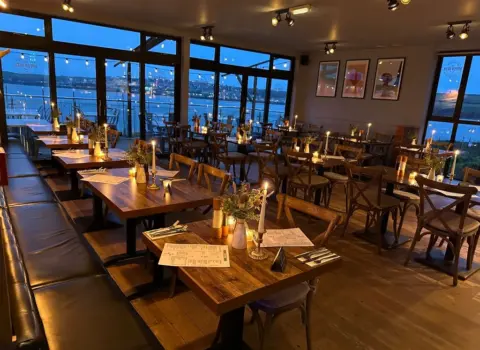
Paul Ainsworth's stylish gastropub across the estuary in Rock, offering modern British pub food with stunning views.
There are no mapped places in this category yet.
Everything in one place
Every stay, place to eat, thing to do, beach and shop listed for Rock.
No places in this category yet.
Looking for somewhere to stay in Rock?
See the stays on the map, add your dates and guests, then check availability on Booking.com.
Plan your stay in Rock on the map
Dydh da! What would you like to find in Cornwall?
Be one of the first cards people see in this list, with 12 photos and your own booking or website button. From £15 a month, first come, first served.
Be one of the first cards people see in this list, with 12 photos and your own booking or website button. From £15 a month, first come, first served.