The Old Bakery Emporium
A unique collection of independent stalls within a former bakery.
See details

Lat 50.4082° N, lon 5.0945° W●Things to do in Newquay
Newquay TR7 1TW, UK
This listing has no photos yet. If this is your business, claim it free and add a few pictures so visitors can see the place.
Claim this listing →Things to do · Newquay
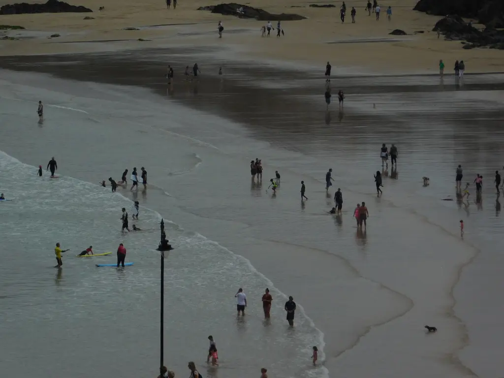
The Gannel is the tidal river that separates Newquay from Crantock on the south side of the town, a wide sandy channel at low water that fills to a broad lake at high tide. Until the late 19th century it was a working waterway, shipping iron ore out from the Great Perran lode and bringing Welsh coal in for the Truro smelters; at low tide you can still see old quays, steps and mooring rings on the western shore at Penpol, once grandly called the Port of Truro, and Tregunnel on the Newquay side built ships of up to 250 tons. Today it is saltmarsh, important for wading birds and salt-tolerant plants. Crossing points are all tide-dependent: the Fern Pit ferry below Pentire runs in season when the river is too deep to wade, the Penpol Creek footbridge is usable up to about three hours from high tide, and the Trenance tidal footbridge further up to about an hour and a half from high tide. If none is available the detour via Trevemper adds about three miles. Wading or swimming in the channel is dangerous. The 4.5 mile circular walk from the National Trust car park at Crantock (TR8 5RB) to Newquay and Fistral and back is a good way to see it; check tide tables before you go.
A unique collection of independent stalls within a former bakery.
Harbour Rest Cafe in Newquay sits on South Quay Hill by the harbour. It is a straightforward spot…

The Great Western Surf Cafe is the cafe on the slope down to Great Western Beach, off Cliff…
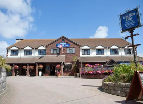
Griffin Inn is a hotel in Newquay, Cornwall, bookable on Booking.com.

Perched majestically overlooking Newquay Harbour and town, The Fort Inn offers classic pub fare, hearty meals, and a…
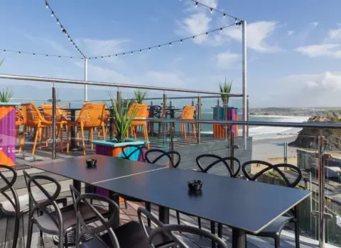
A traditional pub with rooms offering a cosy and authentic Cornish experience.
The Maharajah is an Indian restaurant on Cliff Road in Newquay, close to the town centre and the…
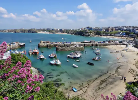
Discover The Boathouse, a laid-back bar and restaurant nestled right on Newquay Harbour. Enjoy fresh seafood, classic pub…
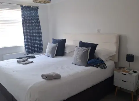
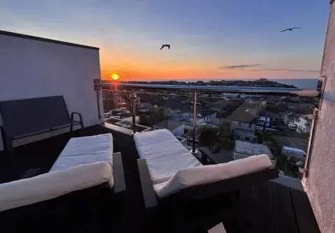
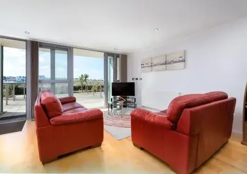
1 Chatsworth Riverscape Apartments is a place to stay in Newquay, Cornwall, bookable on Booking.com.
Walk from the harbour
Photos from this listing. Swipe through before you visit.
Please log in to submit a Cornwall photo.
Discover & connect
Jump from The Gannel Estuary to the parish, the mother town, nearby places, and stay or eat pages.
Popular nearby
There are no mapped places in this category yet.
Everything in one place
A selection of stays, places to eat, things to do, beaches and shops in Newquay.
No places in this category yet.

Dydh da! What would you like to find in Cornwall?
Be one of the first cards people see in this list, with 12 photos and your own booking or website button. From £15 a month, first come, first served.
Be one of the first cards people see in this list, with 12 photos and your own booking or website button. From £15 a month, first come, first served.